

- Date of Incident
- 01 Nov 2014 – 01 Nov 2014
- Location
- Federally Administered Tribal Area, Pakistan
- Publication Date
- 23 May 2014
- Commissioned By
- Bureau of Investigative Journalism
- Additional Funding
- None
- Collaborators
- SITU Research
- Methodologies
- Pattern Analysis, Remote Sensing, Software Development
- Forums
- Report of the UN Special Rapporteur for Counter-Terrorism to the UN General Assembly
- Exhibitions
- —
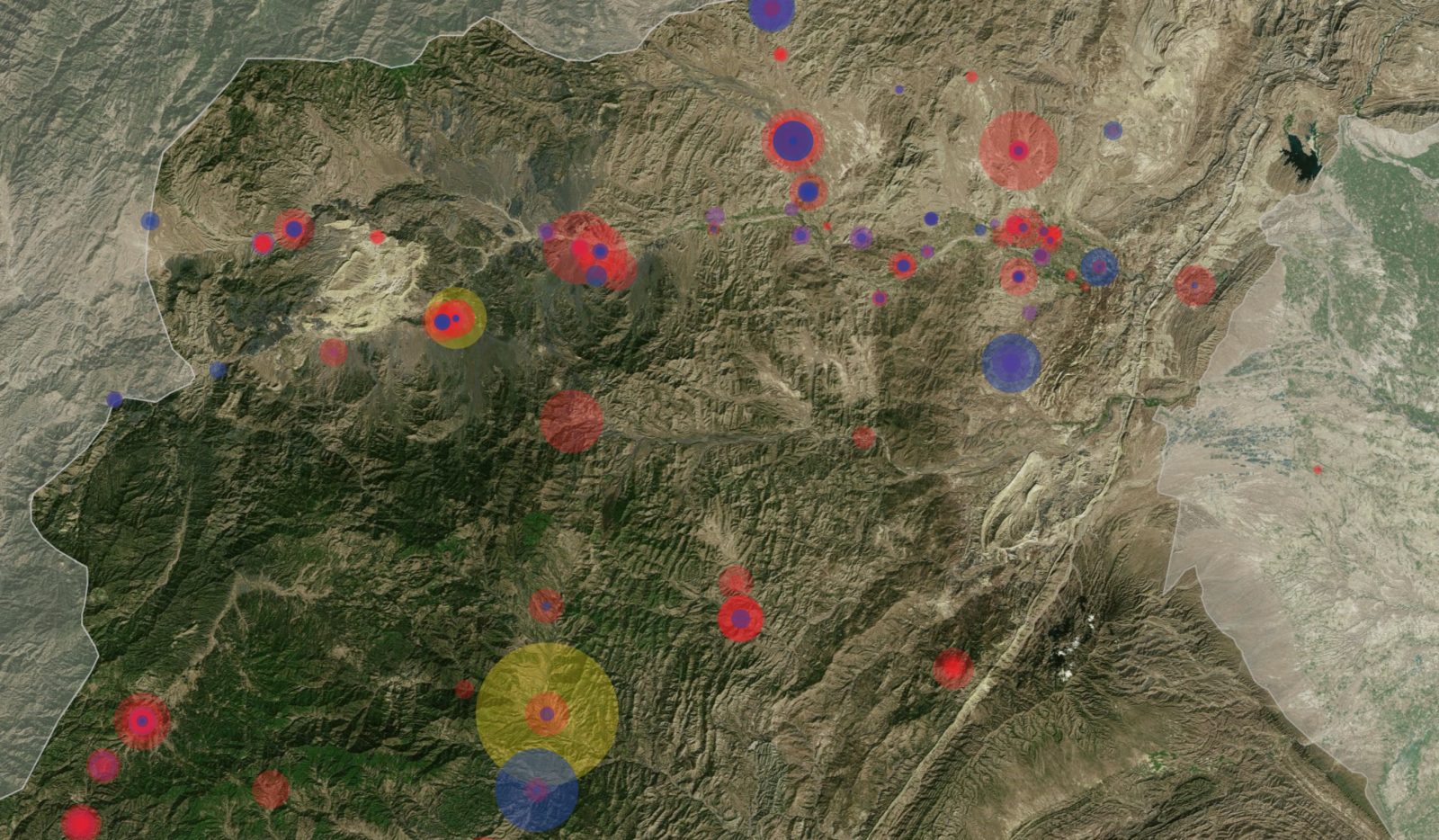
Between 2004 and 2014, the CIA conducted hundreds of drone strikes against targets ostensibly connected to the Taliban, or allies of the group, in the Federally Administered Tribal Areas (FATA) along Pakistan’s northern border with Afghanistan.
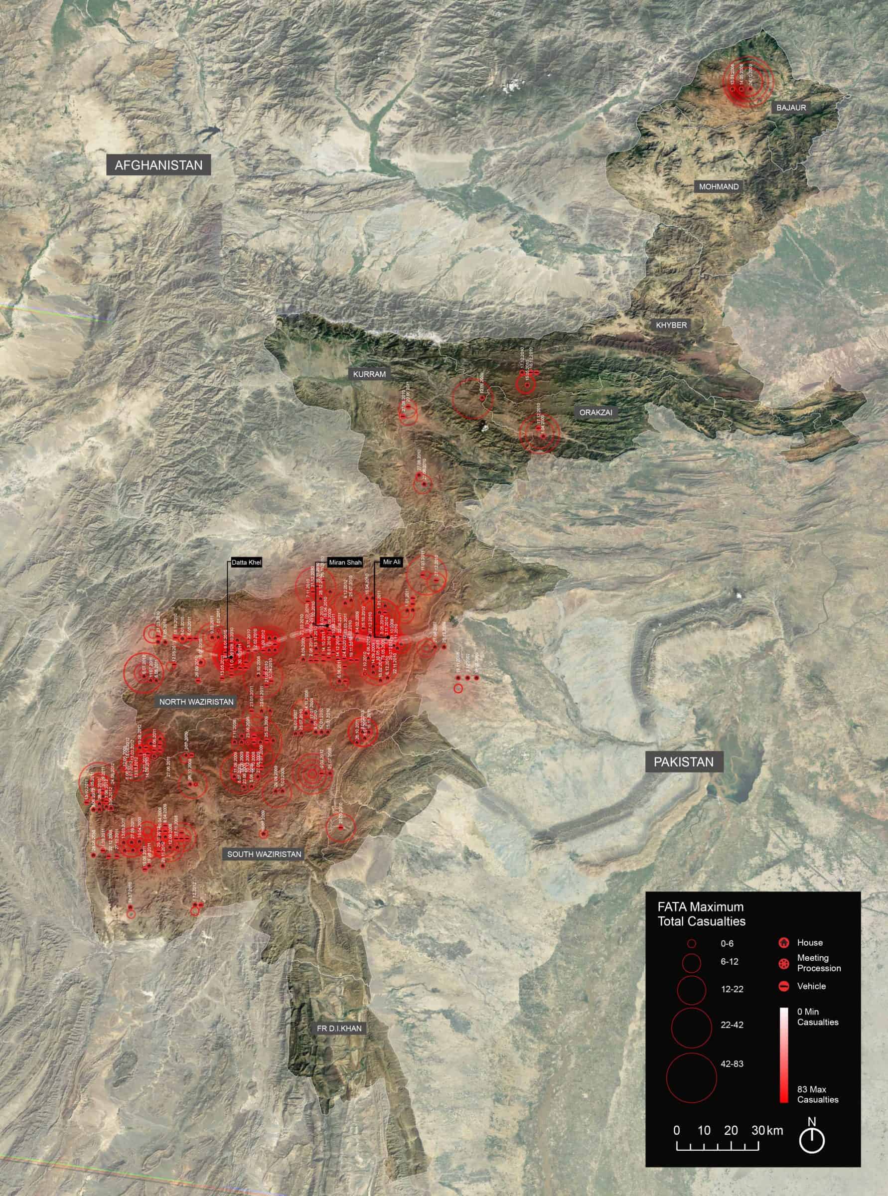
Together with The Bureau of Investigative Journalism (TBIJ) and New York-based architectural researchers SITU Research, Forensic Architecture (FA) produced an interactive cartographic web platform that presented the distribution of those strikes, the number of people reported killed, and the types of targets reported hit.
The platform revealed patterns, trends and connections between incidents that were otherwise not obvious, and examined in particular the relationship between strikes on buildings and civilian casualties.
TBIJ compiled a database of 383 strikes, drawing from news reports, witness testimonies and their own field research.
The data showed that over time, drone strikes targeted vehicles in transit less frequently, and domestic buildings became more common targets. Civilian casualties increased as a result.
Homes were ultimately the target of sixty-one percent of all drone strikes in Pakistan over the period in question, and it was in those homes, often misleadingly referred to by Western media as ‘compounds’, that most civilians were killed.
Pattern analysis revealed the ways in which the tactics of the Taliban evolved in reaction to US strike policies and the algorithms behind them, adapting their patterns of movement and eventually retreating into urban environments; over time, hunter and prey co-evolved.
We also identified an escalation in the targeting of buildings, and a corresponding increase in civilian casualties, immediately after the December 2009 suicide attack at the CIA’s Camp Chapman in Khost, Afghanistan.
The shift toward targeting buildings was supported and enabled by the development of missiles that could better penetrate walls and roofs, and their subsequent employment by the US military.
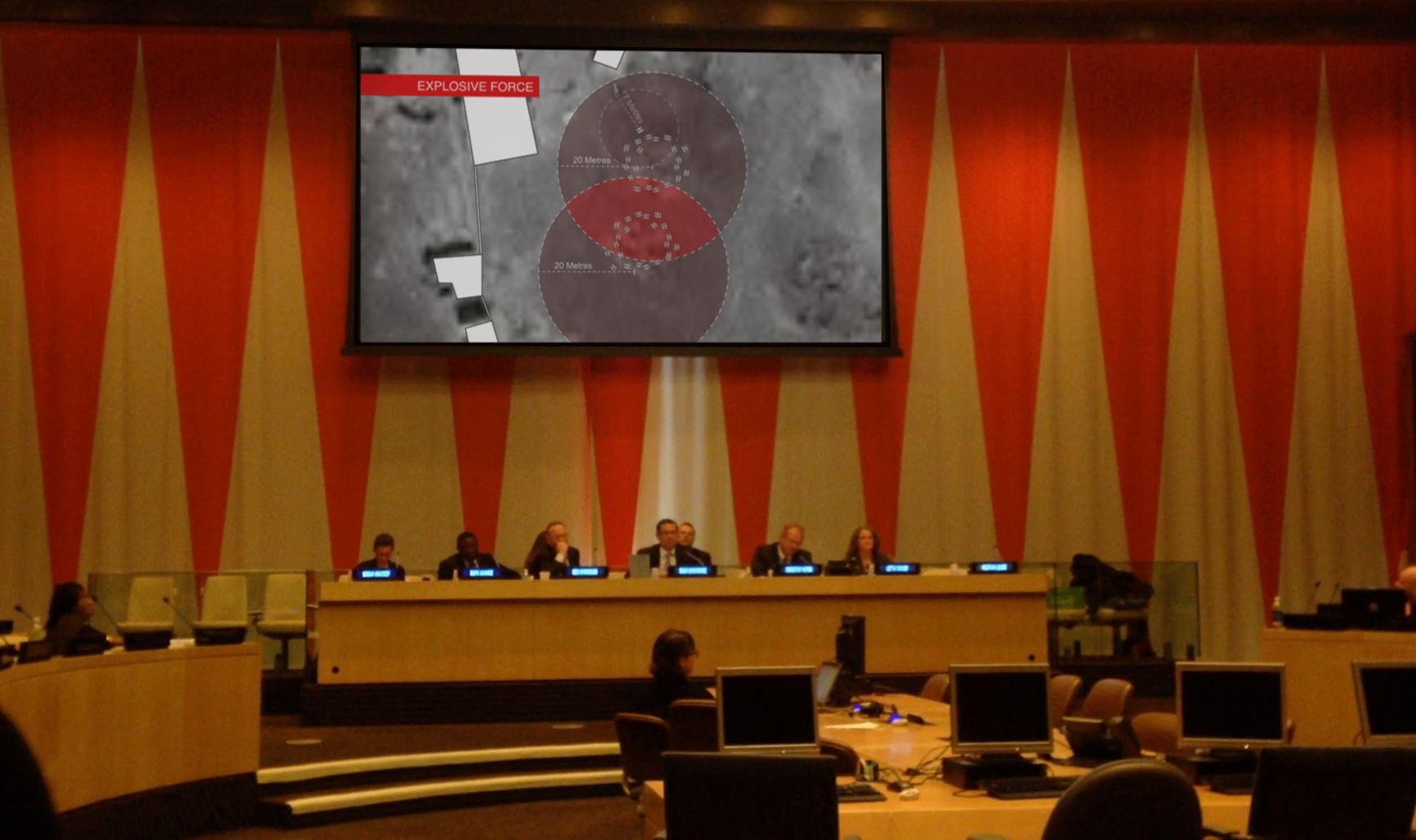
Our work into drone strikes has been used and presented in various forums. The Foundation for Fundamental Rights in Pakistan employed our research in litigation on behalf of the family of a victim of a drone strike in Dhatta Khel. It also constituted part of an investigation by the UN Special Rapporteur on Counter Terrorism and Human Rights on drone warfare in Pakistan, Afghanistan, Yemen, Somalia, and Palestine, and was presented as part of an interim report to the UN General Assembly in New York on 25 October 2013.
Methodology
We extracted and recorded data on reported targets from an index of reports compiled by TBIJ. Targets were divided into domestic, public, religious, and commercial buildings, vehicles, and outdoor gatherings such as meetings and funerals.
During period in question, FATA was under an effective media blackout due to an ongoing siege that strictly regulated entry and exit, particularly for journalists and recording devices. Consequently, few images of the strikes’ aftermath, and even fewer eyewitness accounts and survivors’ testimonies, were available outside of the region. To account for resulting uncertainties in, for example, the number of casualties resulting from a particular strike, therefore, the BIJ’s database recorded the minimum figure in a given range.
Strike locations were identified and plotted using a map of Waziristan that was declassified by the CIA in 2007. Given latitudes and longitudes are based on reported locations which are often only as specific as a town or district, and so are not precise.
TBIJ carried out several field investigations into possible civilian deaths. The database also incorporates the fieldwork of other researchers, as well as evidence filed in legal cases brought in Pakistan and elsewhere on behalf of civilian victims of drone strikes. Leaked US intelligence reports, diplomatic cables made public by WikiLeaks, sanctions lists, ‘most wanted’ lists, and jihadist forums and websites have also been used where relevant.