
Cartographic regression refers to the process of using historic surveys, maps, and aerial photographs overlaid on contemporary imagery, in order to track changes in the territory and “determine how past landscape elements correspond to those in the modern world.” Cartographic regression is increasingly being used in archaeological surveys as a means to evaluate probable locations of cultural resources.
I.121 Airstrikes on Minab Primary School

- Date of Incident
- 28 Feb 2026
- Location
- Shajareh Tayyebeh School, Minab, Iran
- Forums
- Media
- Commissioned By
- Full Story Films
- Summary
- At least 121 children were killed at their primary school in the city of Minab on the first day of the 2026 US-Israeli war against Iran. Following calls from bereaved families and working with Sky News, we reconstructed the circumstances surrounding the airstrikes that claimed their lives.
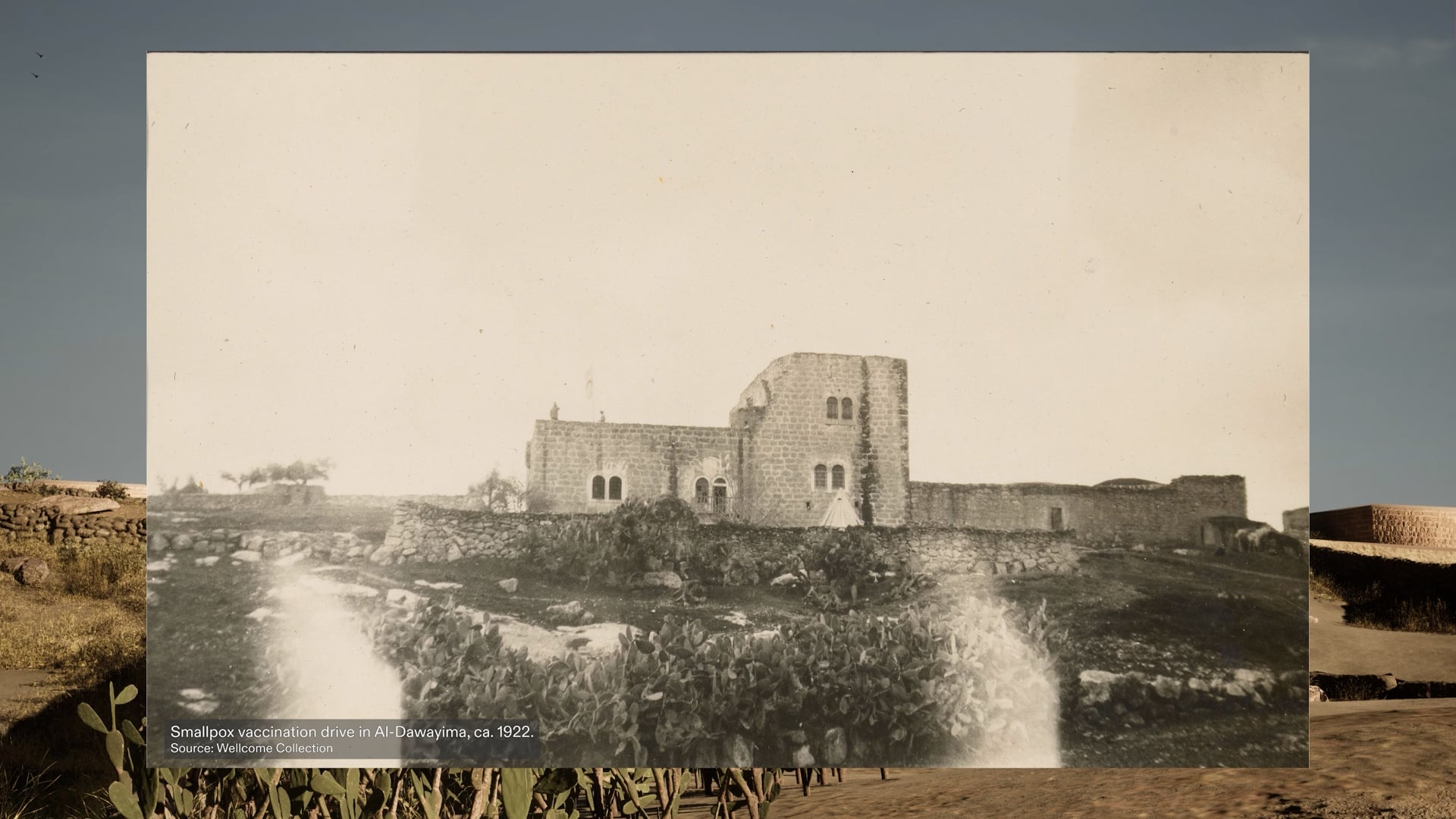
I.111 The Massacre at Tur Al-Zagh: Al-Dawayima, 29 October 1948
- Date of Incident
- 29 Oct 1948
- Location
- Al-Dawayima, Palestine
- Forums
- Exhibition, Media
- In Partnership With
- Palestine Land Society
- Summary
- In collaboration with Palestine Land Society and working first-hand with Palestinian survivors of the 1948 Nakba, FA has uncovered new evidence related to a major massacre carried out by Israeli forces on 29 Oct 1948 in the village of al-Dawayima.
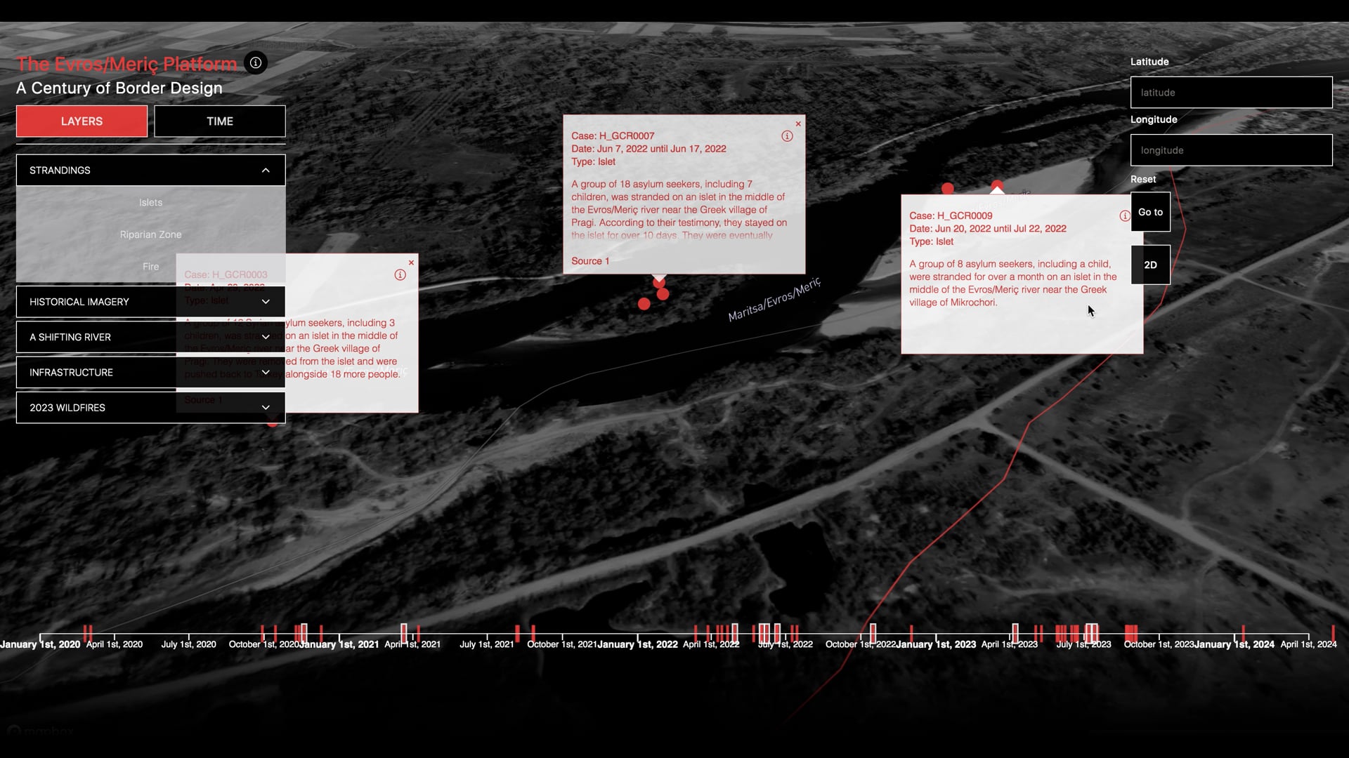
I.110 The Evros/Meriç River: A Century of Border Design
- Date of Incident
- 1926 – 2025
- Location
- Evros/Meriç river, Greece/Turkey
- Forums
- Web Platform
- In Partnership With
- Self-Initiated
- Summary
- First drawn a century ago, the border that separates Greece from Turkey along the Evros/Meriç river at the EU’s southeastern frontier is deadlier and more opaque than ever. FA/Forensis built an interactive platform that unpacks this complex and lethal border infrastructure, and examines the present-day condition of the border against the transformation of the river landscape over the past century.
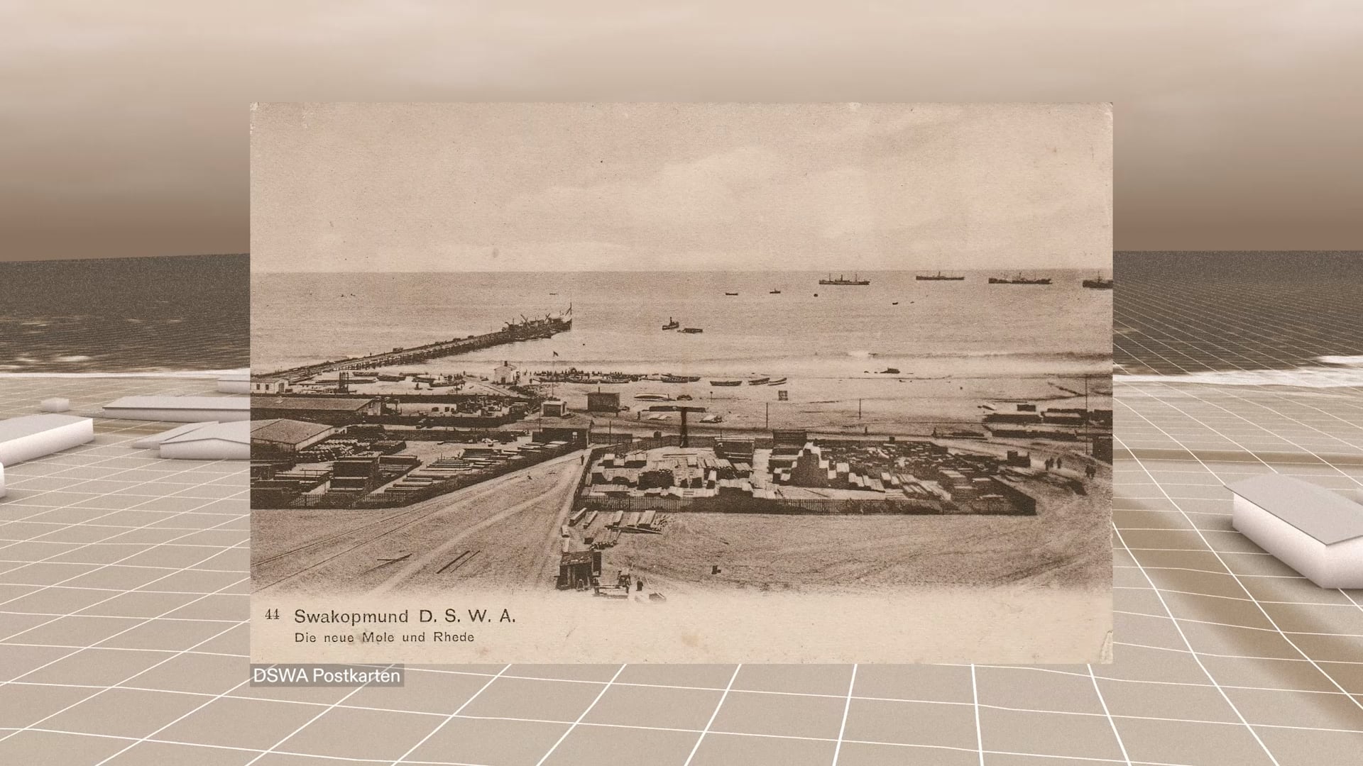
I.107 German Colonial Genocide in Namibia: Swakopmund
- Date of Incident
- 1904 – 1908
- Location
- Swakopmund, Namibia
- Forums
- Exhibition, Media
- In Partnership With
- Nama Traditional Leaders Association (NTLA), Ovaherero Traditional Authority (OTA)
- Summary
- During their genocidal campaign against the indigenous Ovaherero and Nama, German colonial troops established concentration camps across today’s Namibia. The largest was in the port town of Swakopmund, a logistics hub built by forced labour. Working with local activists, we reconstructed the town as it was at that time, revealing the location of Swakopmund's concentration camp for the first time.
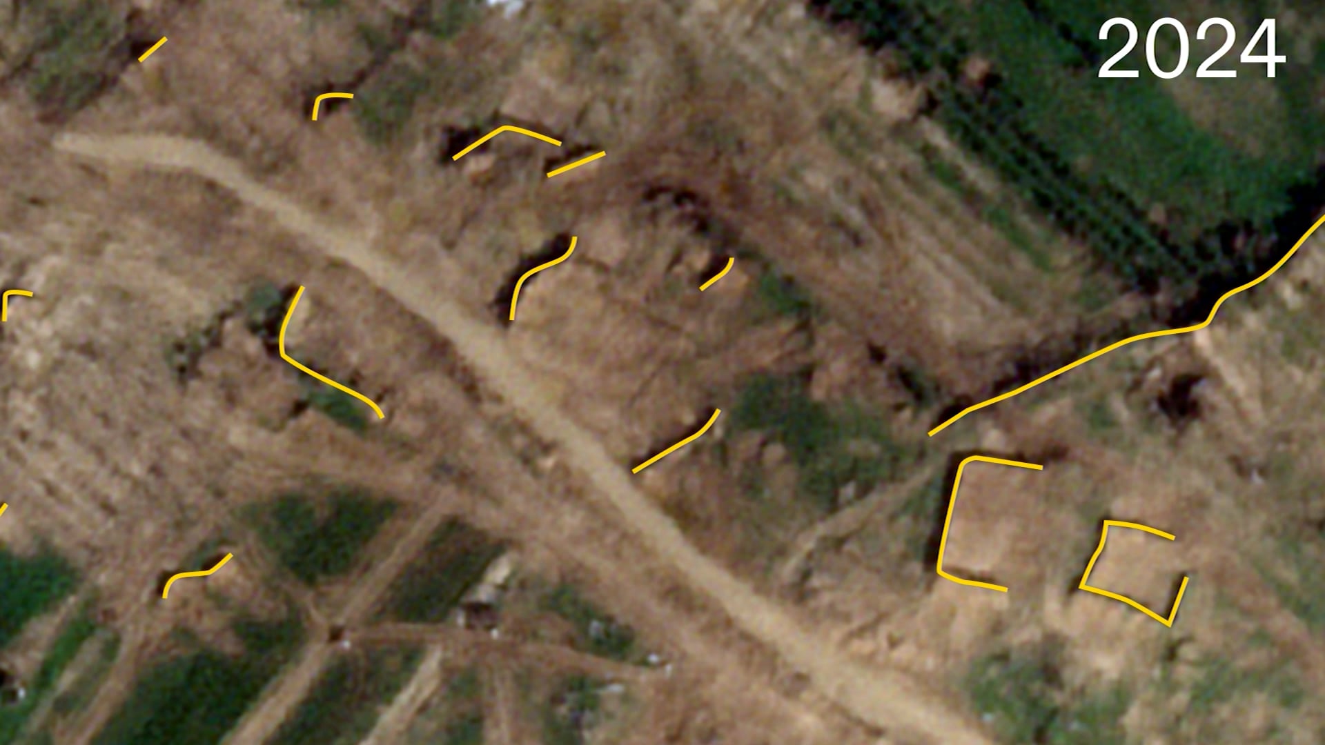
I.101 ‘No traces of life’: Israel’s Ecocide in Gaza 2023-2024
- Date of Incident
- 07 Oct 2023 – Ongoing
- Location
- Gaza
- Forums
- Legal Process, Media
- Commissioned By
- Self-Initiated
- Summary
- Since October 2023, the Israeli military has systematically targeted agricultural land and infrastructure in Gaza. Marking the occasion of Land Day in Palestine, our investigation reveals that the widespread destruction of orchards and greenhouses in Gaza is a deliberate act of ecocide that supports Israel’s genocidal campaign.
I.94 Executions and Mass Graves in Tantura, 23 May 1948
- Date of Incident
- 22 May 1948
- Location
- Tantura, Palestine
- Forums
- Legal Process, Media
- Commissioned By
- Adalah Legal Center for Arab Minority Rights
- Summary
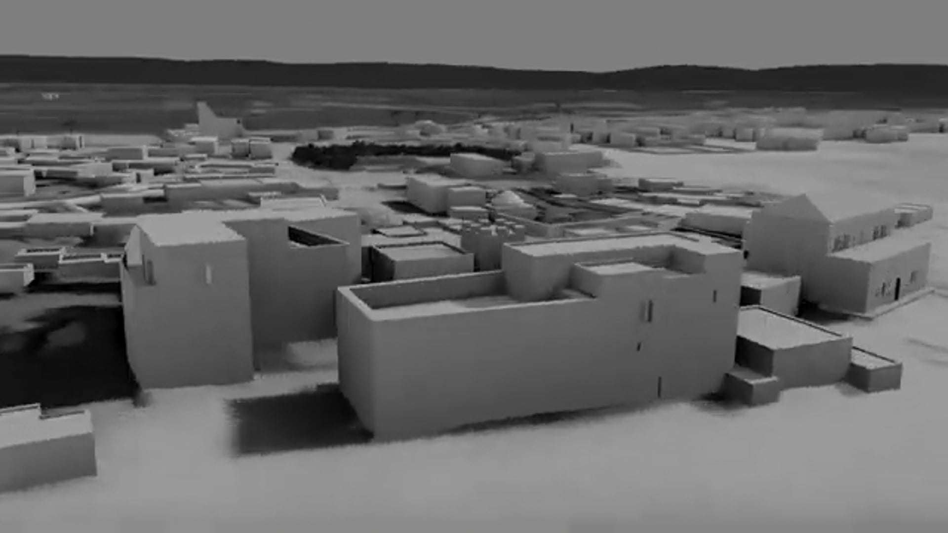
- Our investigation reveals new evidence about massacres conducted in the Palestinian village of Tantura by Israeli forces after its occupation on 22-23 May 1948 and subsequent depopulation. Launched on the 75th anniversary of the Nakba, it brings together testimonies and photographic evidence to locate several mass graves in which the victims were buried—including one previously unidentified.
I.7 The Forest Under Detection
- Date
- 1492 – Ongoing
- Summary
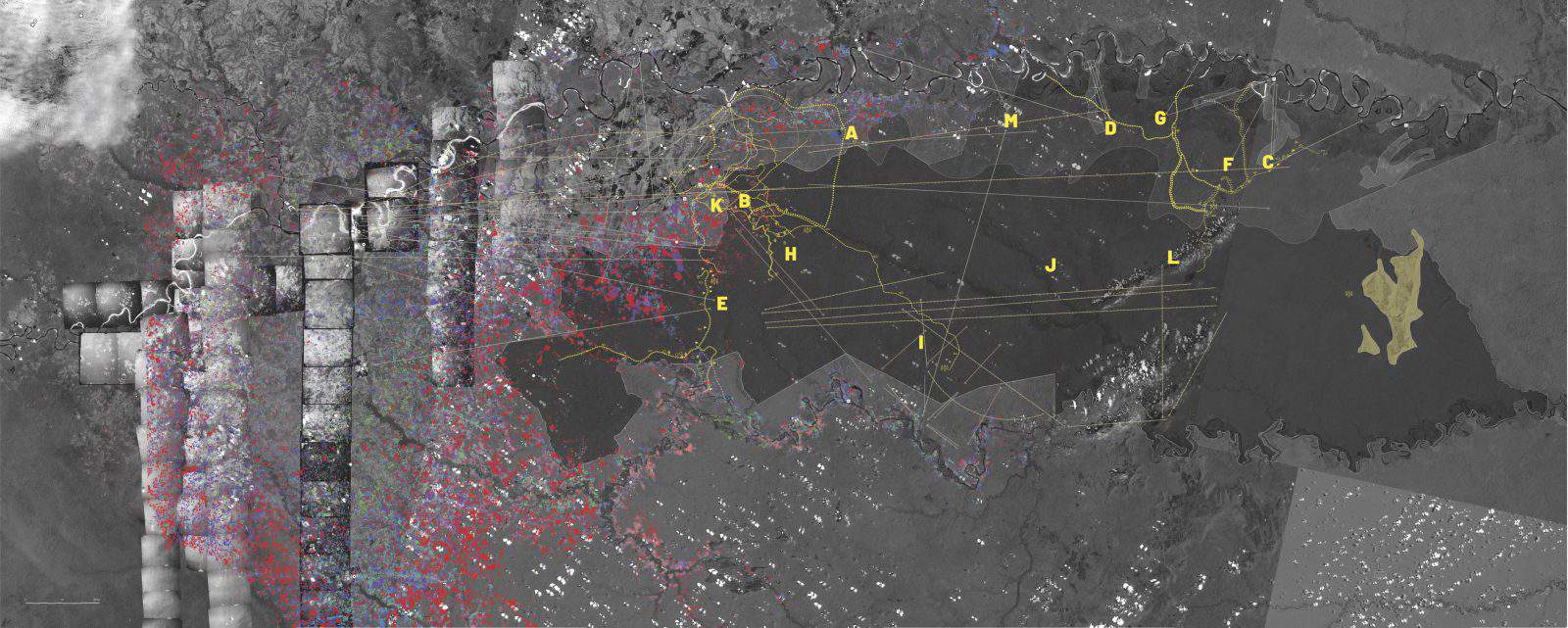
- Using spatial, image, and data analysis, we investigate the history of the Colombian states' cartographic domination of the Nukak people in the department of Guaviare.
I.72 Environmental Racism in Death Alley, Louisiana
- Date of Incident
- 1718 – Ongoing
- Location
- 'Death Alley', Louisiana, USA
- Forums
- Legal Process, United Nations, Exhibition, Media, Web Platform
- In Partnership With
- RISE St. James
- Summary
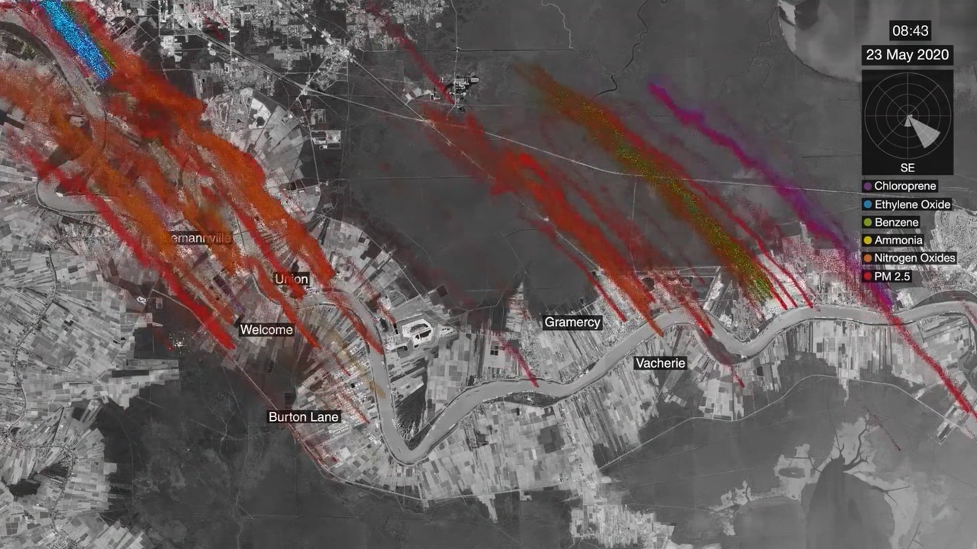
- A stretch of the Mississippi River once called 'Plantation Country' is now the 'Petrochemical Corridor', known to those who breathe its toxic air as 'Death Alley'. Using advanced techniques in cartography and fluid dynamics, we worked to support local demands for accountability and reparations.